22°7'60" S
166°18'0" E
~348m asl
10:56 (NCT - UTC/GMT+11)
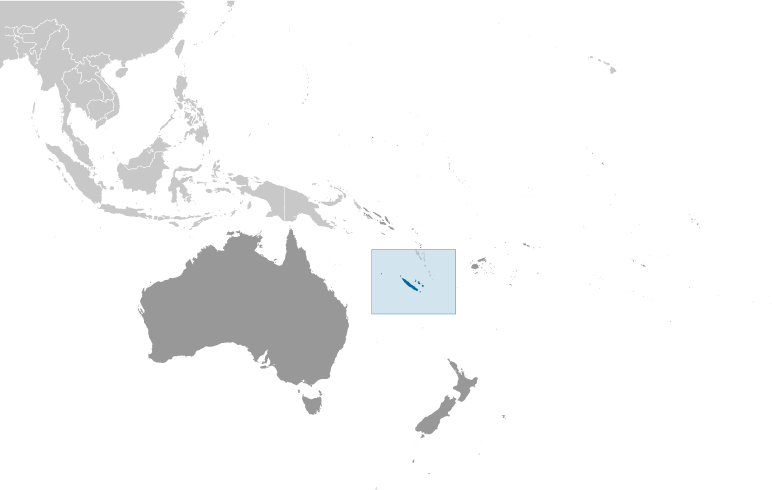
Kui (Kui) is a mountain (class T - Hypsographic) in New Caledonia (general), New Caledonia [ France ] (Oceania) with the region font code of Americas/Western Europe. It is located at an elevation of 348 meters above sea level.
Kui is also known as Kui, Mont Koui, Sommet Koui, sommet Coui.
Its coordinates are 22°7'60" S and 166°18'0" E in DMS (Degrees Minutes Seconds) or -22.1333 and 166.3 (in decimal degrees). Its UTM position is FA35 and its Joint Operation Graphics reference is SF58-11.
Current local time is 10:56; the sun rises at 08:53 and sets at 21:00 local time (Pacific/Noumea UTC/GMT+11). The standard time zone for Kui is UTC/GMT+11
In 2024 DST starts on - and ends on -.
A Mountain is an elevation standing high above the surrounding area with small summit area, steep slopes and local relief of 300m or more.
|
Advertisements:
Advertisements:
|
Weather Kui (Cloud cover, Temperature, Wind speed and Precipitation mm probab.)
Mon
Apr 29
~2 l/m2 29%
19 °C min
24 °C max
38 km/h
Thu Jan 1
|
Tue
Apr 30
18 °C min
23 °C max
33 km/h
Thu Jan 1
|
Wed
May 1
~1 l/m2 22%
18 °C min
23 °C max
24 km/h
Thu Jan 1
|
Thu
May 2
~1 l/m2 33%
20 °C min
23 °C max
36 km/h
Thu Jan 1
|
Fri
May 3
18 °C min
23 °C max
39 km/h
Thu Jan 1
|
Sat
May 4
~1 l/m2 34%
18 °C min
23 °C max
35 km/h
Thu Jan 1
|
|
|
Mont Koui (New Caledonia (general)) 7 day forecast
--- There are no comments yet ---
Add a new comment:
|
Members area
New Caledonia [ France ] (Overseas Territory):
Advertisement
GPS points near Kui
GPS points from New Caledonia [ France ] (Overseas Territory)
 Kone New Caledonia (general)
Muu New Caledonia (general)
Coula New Caledonia (general)
Malhec New Caledonia (general)
|